Coastal
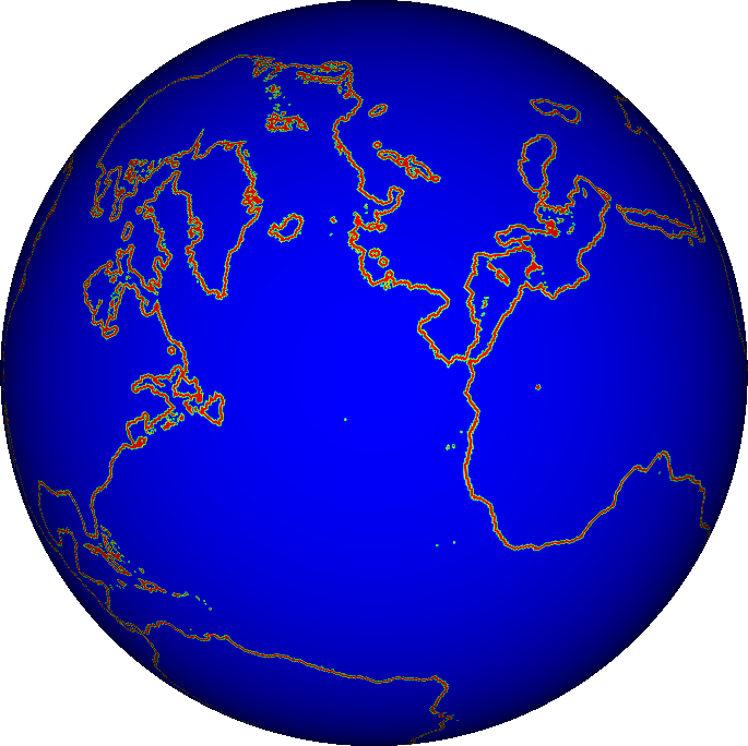
This tool finds coastal cells (land cells with water in a given neighborhood) with a brute force search and marks corresponding cells in the m_adWater array of the Geography group in a QDF file.
Code: Coastal.cpp
Usage
${QHG4_DIR}/import/Coastal -i <input_qdf> -d <distance> -o <output_qdf>
where
input_qdfa qdf file with a Geography (Altitude) group in which to search for coastal cells.
distancemaximum distance to sea (in cell hops).
output_qdfoutput file (coastal written to DS ‘Coastal’ in the ‘Geography’ group.)

Algorithm
loop through all cells
Cin the input file’s grid.- if
Chas positive altitude then loop through all cells
Nin ad-distabce ofC- if
Nhas negative altitude then set
m_adCoastal[i]to 1 (whereiis the index ofC)exit loop
- if
endif
- if
end loop
write QDF file